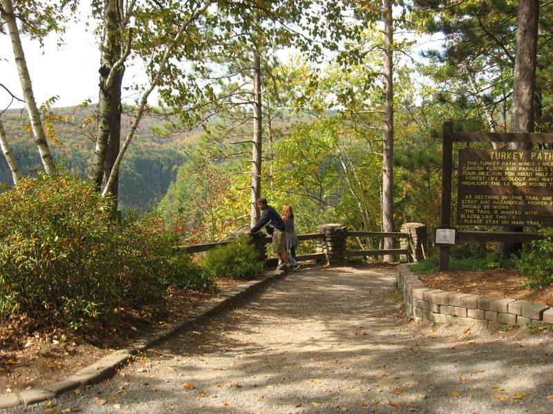
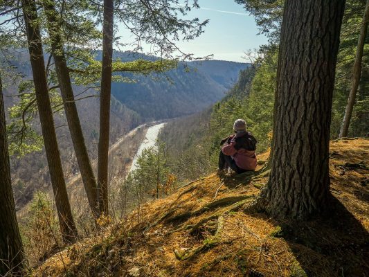
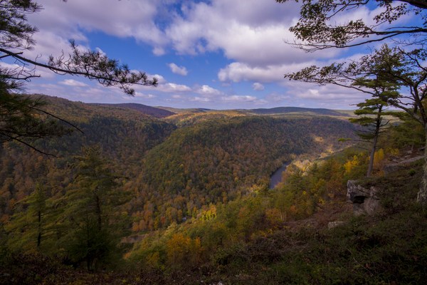
Hiking In Potter And Tioga
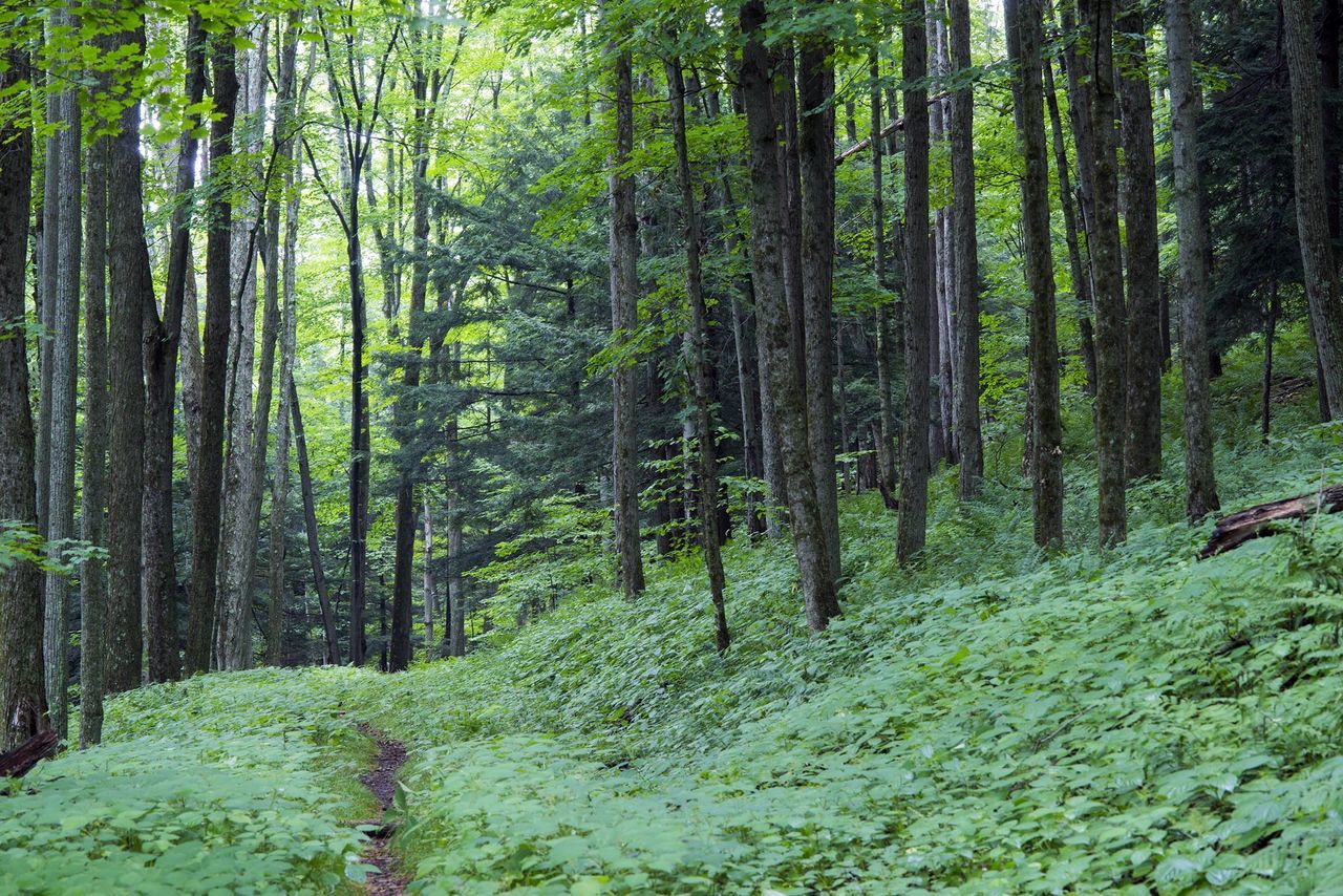
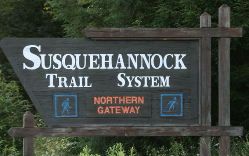
The Potter-Tioga region is a hiker’s paradise! Whether you are a seasoned hiker looking for a challenging adventure or someone out for a scenic stroll, we’ve got a trail for you. The Tioga State Forest and the Susquehannock State Forest are home to many trails suitable for all skill levels. Check out the Barbour Rock trail for an easy hike (ADA accessible), or the West Rim Trail or Susquehannock Trail System for a multi-day backpacking trip. Most of our trails lead you to a breathtaking overlook, and some take you to beautiful waterfalls.
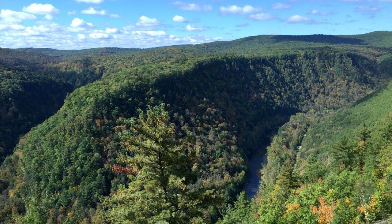
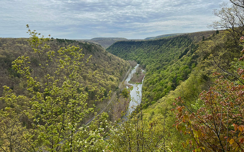
We are also home to the Pine Creek Rail Trail, a 62-mile-long path in the bottom of the PA Grand Canyon. It is hard-packed crushed limestone and a gentle 2% grade. It’s proximity to Pine Creek ensures lots of opportunities for birding and wildlife viewing.